11¼ miles · about 25 minutes · easy
Telford Bridge loop
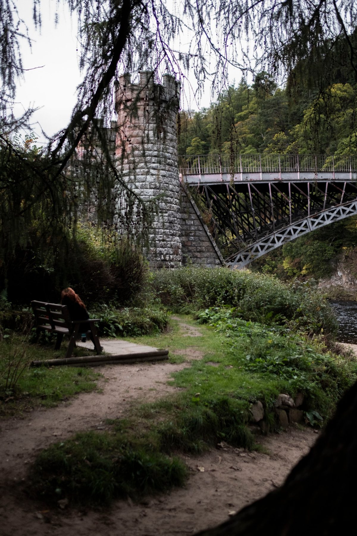
Down to Fiddich Park, then along the river to Thomas Telford’s cast-iron bridge of 1814. The shortest walk we know with the best view, and the one to do with the dog before breakfast.
Gravel, grass and a timber footbridge. Not suitable for buggies.
21½ miles there and back · 30 minutes · easy
Up the Fiddich
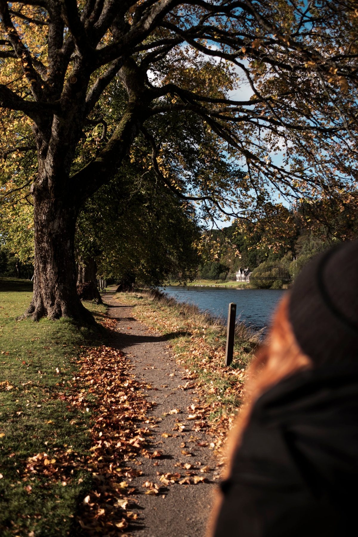
The Speyside Way’s Dufftown spur follows the old railway up the River Fiddich, flat and sheltered under the trees. Turn back at the bench, or keep going about four miles to Dufftown and Glenfiddich.
Level gravel path, muddy after rain. Fine for buggies with care.
3About 2½ miles each way · easy
The Speyside Way to Aberlour
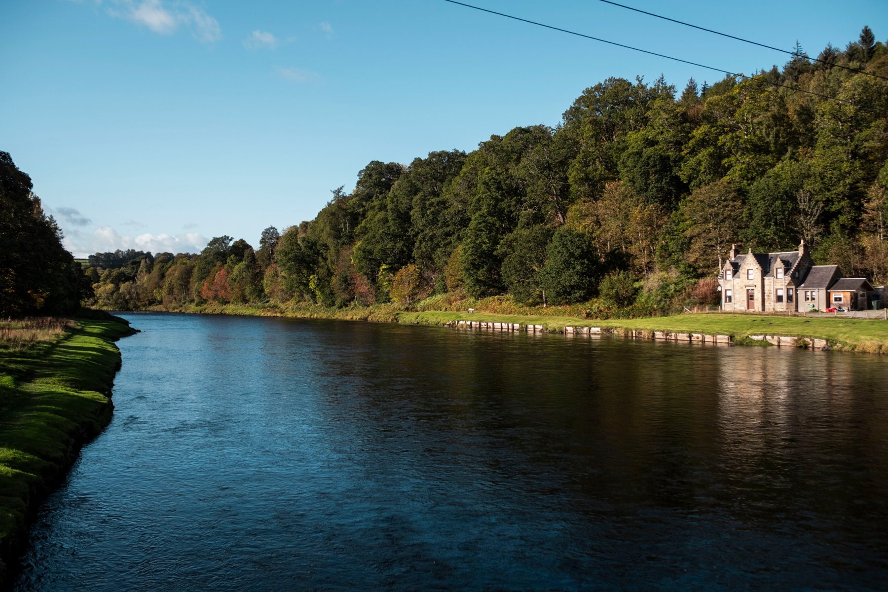
South on the old Strathspey Railway, through the short Craigellachie tunnel and along the Spey into Aberlour. Have lunch in the village and come back the same way, or take a taxi home.
Level railway path throughout.
4About 3 miles round · about an hour · easy, one steep climb
Linn Falls, Aberlour
From the Speyside Way in Aberlour, follow the Lour Burn past the Penny Bridge to the Linn Falls, then come back over the old packhorse bridge and down through the village.
Stepped climb to the top of the falls; can be muddy.
5471m · a few hours · moderate
Ben Aigan
The forested hill above the village. From the top you look south over Speyside to Ben Rinnes and north across the Moray Firth to the Sutherland hills.
Forest tracks and a hill path, uphill most of the way. Boots needed.
6841m · 5 miles there and back · about 3 hours · hard
Ben Rinnes
Speyside’s own mountain. A track and then a good path from the Glack Harnes car park climb 530m to the granite tors on top.
Exposed summit. Boots, waterproofs and a map; check the forecast with us before you go.